

Jordan
1 listed locations; 0 linked to reference tide models.
Open the fishing planner for Jordan ←Jordan: a short coastline still needs precise access
A single Aqaba reference does not imply identical access along the coast. Establish the permitted entry point, protected boundaries and casting space, then avoid dragging hooks across reef habitat.
Clear water can reveal the bottom without proving fish are within casting range. Observe presentation and change one factor at a time. For boats, check the route and equipment with the operator instead of using a shore score as sailing clearance.
Choose the actual location in Jordan
This guide lists 1 locations in Jordan, including Aqaba. Open the location you intend to visit, select shore or boat, and compare the same trip window. Area names and coordinates are planning references; check access and bottom type before preparing tackle.
0 locations connect to 0 reference-station model(s); some may share a source with timing and height adjustments. The location count does not imply a separate gauge or validated model for every mark. Locations without tide models use available information; a missing model does not mean no tide.
Data sources and methodology →Fishing spots in Jordan
| Place | Type | Bottom | Fish | Shore faces | |
|---|---|---|---|---|---|
| Aqaba | Shore & boat | Coral reefs, deep water | Coral trout, parrotfish, trevally, barracuda | South | Tool |
Map points are approximate area references, not access permissions or navigation positions. Assess wind, gusts, wave height, period and shoreline exposure together.
Seas of Jordan
Red Sea: Gulfs, straits and open coasts are not interchangeable. Check the specific location and permitted access, and read available tide and wave information without assigning one range to the whole sea.
Fishing spots map
🟦 shore · 🟧 boat. Tap any point for details, and open it in Google Maps or Google Earth.
The map loads as you approach it. You can also open the location list.
Show locations as a list
Popular fish in Jordan
Targeting times below are general guidance that varies with location, season and conditions, not measured fish activity.
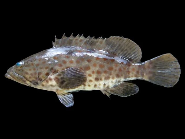
Dawn, dusk and around slack tidePhoto credit
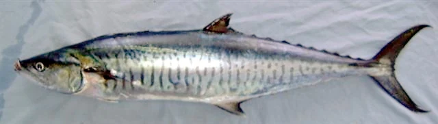
Early morning with birds and bait activityPhoto credit
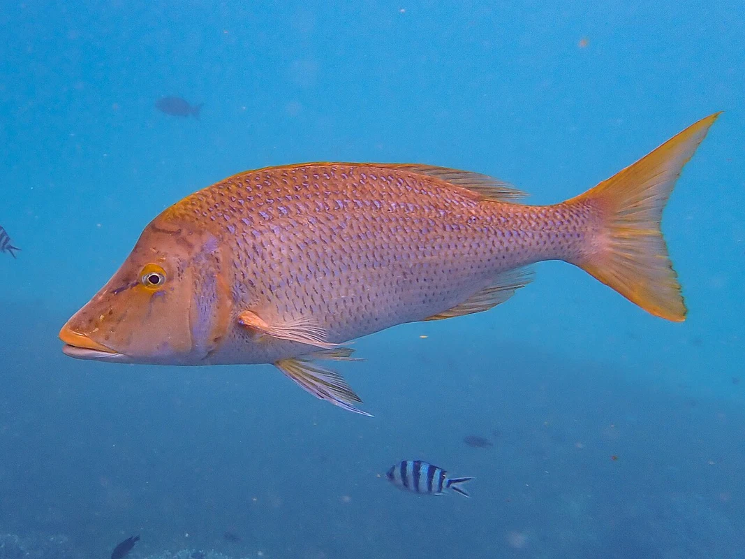
Early morning and afternoonPhoto credit
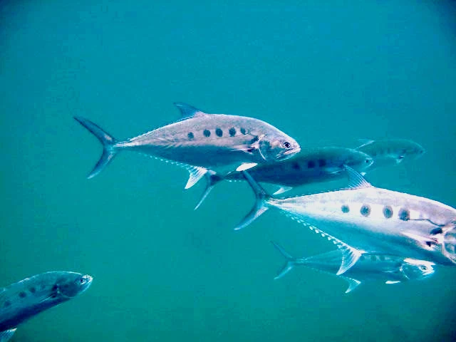
Early morning and duskPhoto credit
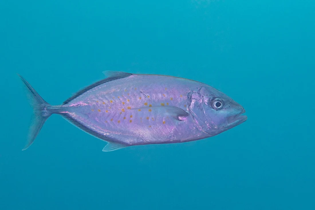
Morning with moving waterPhoto credit
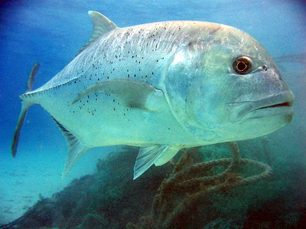
Dawn, strong current at headlandsPhoto credit
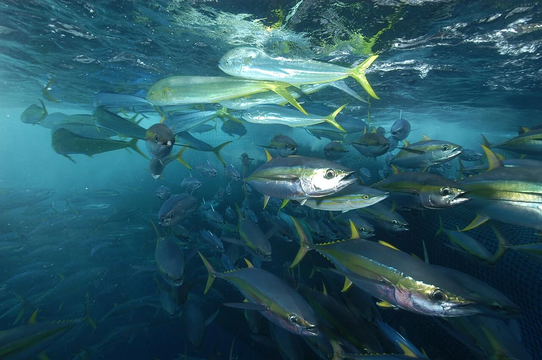
Early morning with dolphins and birdsPhoto credit
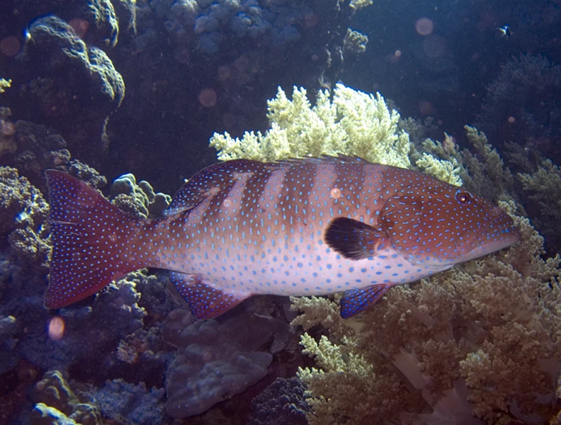
Dawn and dusk on reef edgesPhoto credit
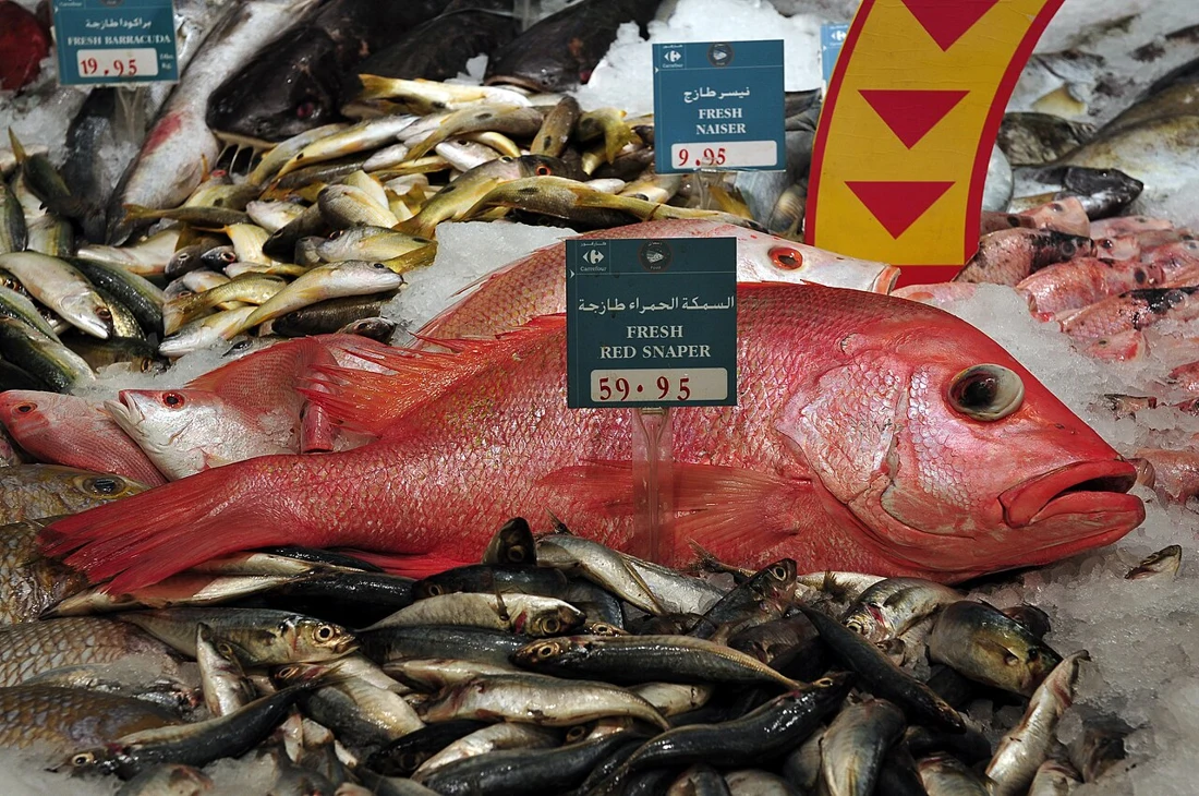
Late night and dawnPhoto credit
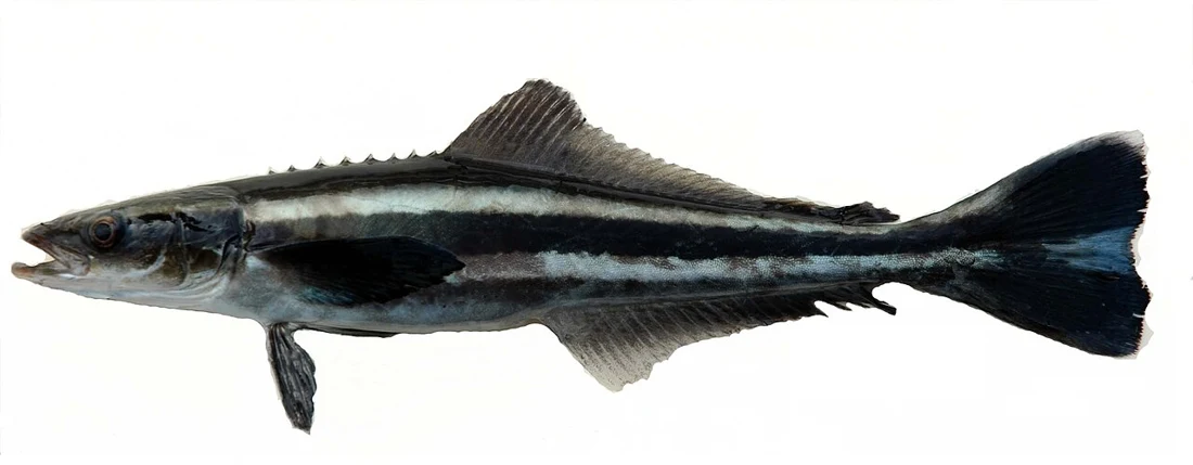
Daytime around buoys and platformsPhoto credit
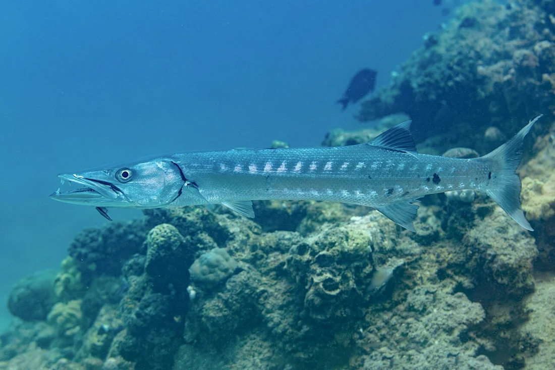
Morning, dusk and moonlit nightsPhoto credit
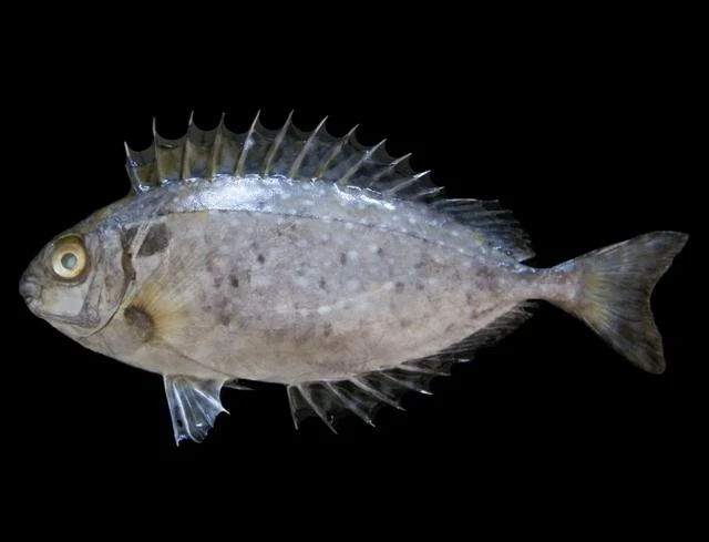
Daytime only (sunrise to afternoon); absent at nightPhoto credit
Fish seasons
| Species | Jan | Feb | Mar | Apr | May | Jun | Jul | Aug | Sep | Oct | Nov | Dec | Bait |
|---|---|---|---|---|---|---|---|---|---|---|---|---|---|
| Hamour (grouper) Epinephelus coioides | Live mullet or sardine, whole cuttlefish, large prawn, fish strips | ||||||||||||
| Kingfish (kanaad) Scomberomorus commerson | Live mullet or sardine, no weight | ||||||||||||
| Spangled emperor Lethrinus nebulosus | Cuttlefish, prawn, crab | ||||||||||||
| Queenfish Scomberoides commersonnianus | Live mullet or sardine | ||||||||||||
| Trevally Carangoides spp. | Live sardine, strips | ||||||||||||
| Giant trevally (GT) Caranx ignobilis | Large live bait | ||||||||||||
| Yellowfin tuna Thunnus albacares | Live sardine, squid | ||||||||||||
| Coral trout (najil) Plectropomus spp. | Live fish, squid | ||||||||||||
| Red snapper Lutjanus malabaricus / L. bohar | Cuttlefish, fish strips | ||||||||||||
| Cobia Rachycentron canadum | Live fish, whole cuttlefish | ||||||||||||
| Barracuda Sphyraena spp. | Live fish | ||||||||||||
| Rabbitfish (batata / safi) Siganus rivulatus, S. luridus, S. canaliculatus | Firm dough (bread or flour), shrimp, green algae | ||||||||||||
| Parrotfish (hareed) Scarus spp. | Crab, prawn, snails | ||||||||||||
| Flathead mullet Mugil cephalus | Bread paste, bread | ||||||||||||
| Greater amberjack Seriola dumerili | Live fish |
Darker = peak season. Seasons are approximate and vary year to year.
Laws & safety
Check current access, gear, species and licence restrictions with the authority responsible for the exact area and activity. A map marker or a seasonal colour is not a permit.
Match safety equipment and the trip decision to the actual boat, load, route and skipper’s assessment. No single wind or wave number is a safe limit for every boat.
How to use the tables on this page
Species and seasonal tables are indicative planning aids, not a catch survey or a current legal calendar. Start with a reachable target and check the method in the linked guide.
Read the practical guide · Data sources and calculation limits