

Oman
12 listed locations; 12 linked to reference tide models.
Open the fishing planner for Oman ←Oman: build separate plans for Muscat and Salalah
Choose the coast before comparing scores: Khasab, Muscat, Masirah and Salalah are separate planning locations. Open the actual location in the table and check a forecast covering the route, rather than the city temperature alone. A shore session and a boat trip also have different travel and return requirements.
On rocky ground, test a short cast before adding distance. Repeated snagging calls for a different presentation or position, rather than more force. For a boat trip, agree the intended depth and bottom with the skipper before choosing a rig. A sheltered bay is not a visual forecast for the Arabian Sea, and a seasonal chart is not permission to sail.
Choose the actual location in Oman
This guide lists 12 locations in Oman, including Musandam – Khasab, Shinas, Sohar. Open the location you intend to visit, select shore or boat, and compare the same trip window. Area names and coordinates are planning references; check access and bottom type before preparing tackle.
12 locations connect to 5 reference-station model(s); some may share a source with timing and height adjustments. The location count does not imply a separate gauge or validated model for every mark. Locations without tide models use available information; a missing model does not mean no tide.
Data sources and methodology →Fishing spots in Oman
| Place | Type | Bottom | Fish | Shore faces | |
|---|---|---|---|---|---|
| Musandam – Khasab | Shore & boat | Deep rocky fjords | Grouper, trevally, kingfish, barracuda | North | Tool |
| Shinas | Shore | Sandy | Kingfish, queenfish, grunter | Northeast | Tool |
| Sohar | Shore & boat | Sand and port breakwaters | Kingfish, trevally, grouper | Northeast | Tool |
| Barka & Seeb | Shore | Sandy | Kingfish, queenfish, grunter | North | Tool |
| Muscat – Qurum & Bandar | Shore & boat | Rocks, deep water close by | Trevally, barracuda, kingfish, tuna, grouper | North | Tool |
| Quriyat | Shore & boat | Rocks, nearby drop-offs | Tuna, dorado, sailfish, kingfish | Northeast | Tool |
| Sur & Ras Al Hadd | Shore & boat | Creek, rocks, open ocean | Tuna, trevally, kingfish, barracuda | Northeast | Tool |
| Masirah Island | Shore & boat | Open beaches and reefs | Trevally, grouper, kingfish, barracuda | — | Tool |
| Duqm | Shore & boat | Rocks and sand | Trevally, grouper, amberjack, kingfish | East | Tool |
| Salalah | Shore & boat | Open beaches and rocks | Trevally, tuna, dorado, grouper | South | Tool |
| Mirbat | Shore & boat | Rocks and deep water | Trevally, grouper, tuna | South | Tool |
| Mughsail | Shore | Sand and rocks, heavy surf | Trevally, barracuda, queenfish | South | Tool |
Map points are approximate area references, not access permissions or navigation positions. Assess wind, gusts, wave height, period and shoreline exposure together.
Seas of Oman
Gulf of Oman: Distinguish a sheltered bay from a swell-exposed coast. For a boat, review wave height, period and direction along the route and return window, not just at the fishing mark.
Arabian Sea: Local beach wind alone cannot describe an open sea. Check the relevant marine forecast, swell and warnings for the trip time, and whether data describe the coast or the offshore area you intend to visit.
Fishing spots map
🟦 shore · 🟧 boat. Tap any point for details, and open it in Google Maps or Google Earth.
The map loads as you approach it. You can also open the location list.
Show locations as a list
Popular fish in Oman
Targeting times below are general guidance that varies with location, season and conditions, not measured fish activity.
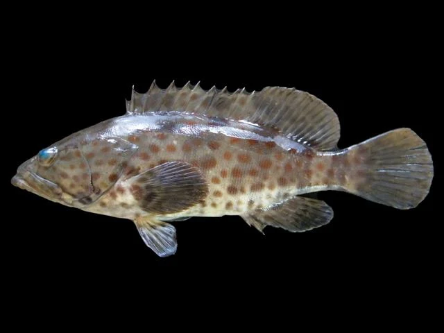
Dawn, dusk and around slack tidePhoto credit
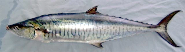
Early morning with birds and bait activityPhoto credit
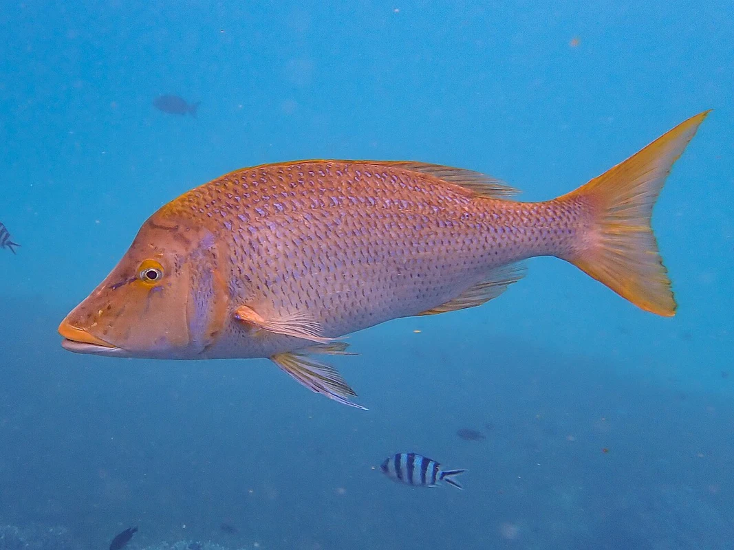
Early morning and afternoonPhoto credit
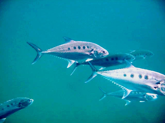
Early morning and duskPhoto credit
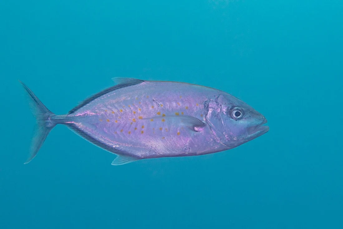
Morning with moving waterPhoto credit
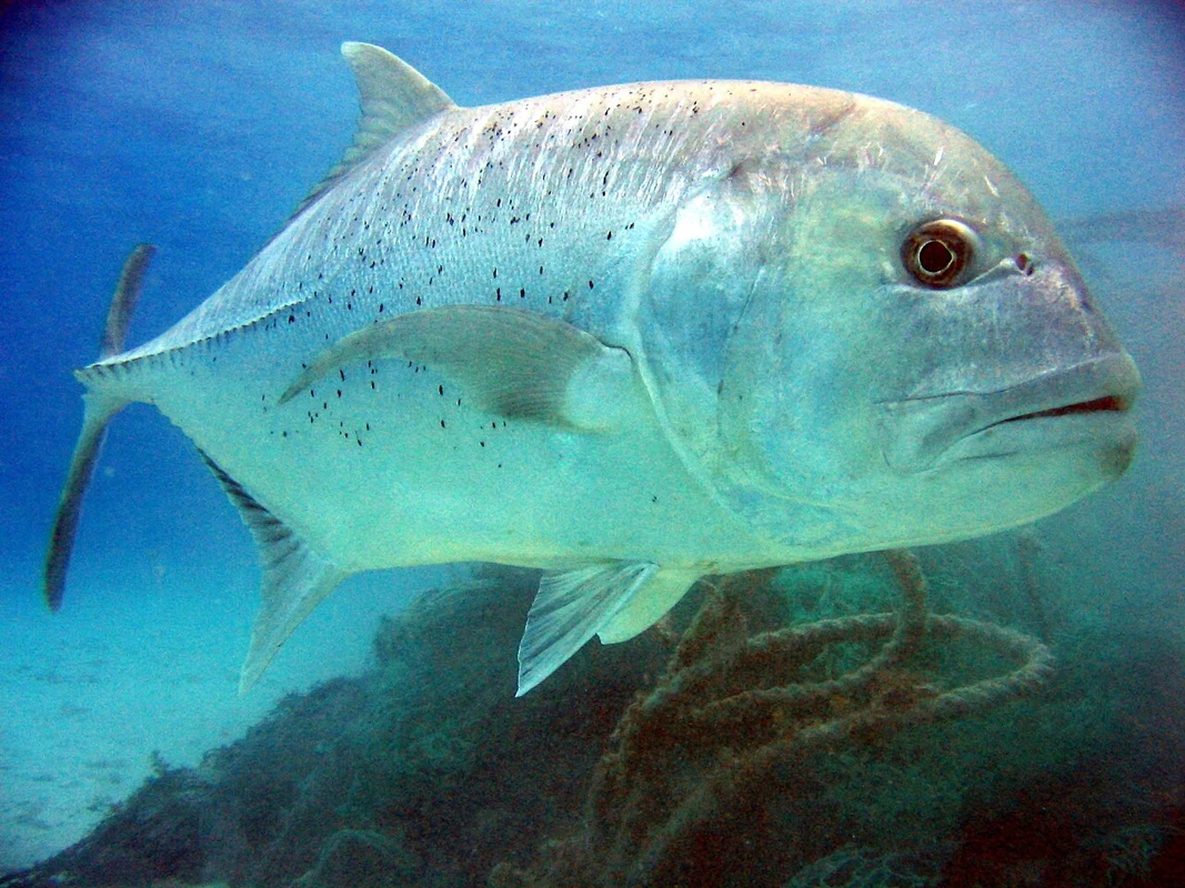
Dawn, strong current at headlandsPhoto credit
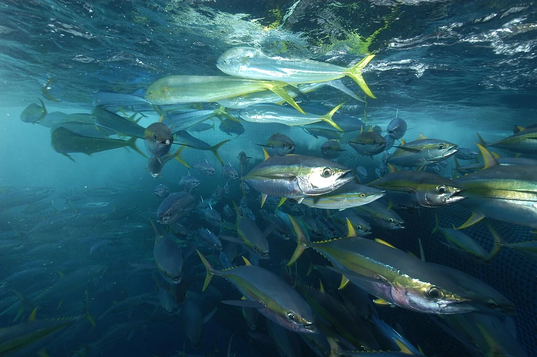
Early morning with dolphins and birdsPhoto credit
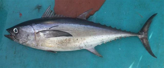
Early morning on boilsPhoto credit
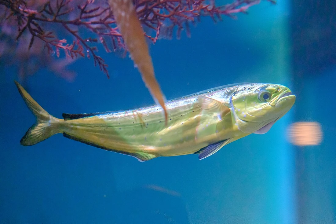
Daytime around floating debrisPhoto credit
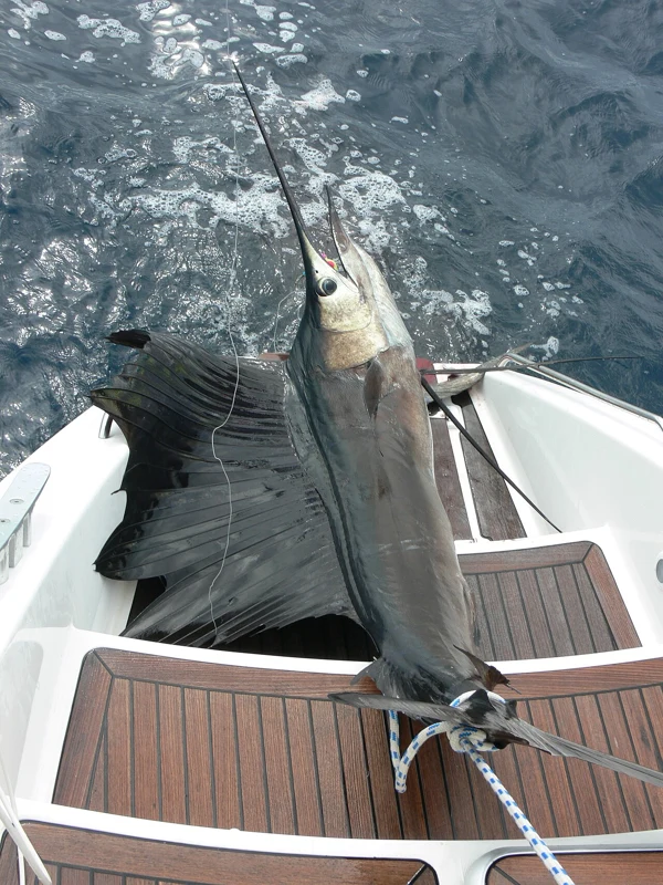
Morning in blue waterPhoto credit
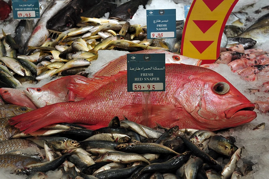
Late night and dawnPhoto credit
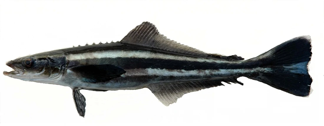
Daytime around buoys and platformsPhoto credit
Fish seasons
| Species | Jan | Feb | Mar | Apr | May | Jun | Jul | Aug | Sep | Oct | Nov | Dec | Bait |
|---|---|---|---|---|---|---|---|---|---|---|---|---|---|
| Hamour (grouper) Epinephelus coioides | Live mullet or sardine, whole cuttlefish, large prawn, fish strips | ||||||||||||
| Kingfish (kanaad) Scomberomorus commerson | Live mullet or sardine, no weight | ||||||||||||
| Spangled emperor Lethrinus nebulosus | Cuttlefish, prawn, crab | ||||||||||||
| Queenfish Scomberoides commersonnianus | Live mullet or sardine | ||||||||||||
| Trevally Carangoides spp. | Live sardine, strips | ||||||||||||
| Giant trevally (GT) Caranx ignobilis | Large live bait | ||||||||||||
| Yellowfin tuna Thunnus albacares | Live sardine, squid | ||||||||||||
| Longtail tuna Thunnus tonggol | Live sardine | ||||||||||||
| Mahi-mahi (dorado) Coryphaena hippurus | Sardine, squid | ||||||||||||
| Sailfish Istiophorus platypterus | Live fish | ||||||||||||
| Red snapper Lutjanus malabaricus / L. bohar | Cuttlefish, fish strips | ||||||||||||
| Cobia Rachycentron canadum | Live fish, whole cuttlefish | ||||||||||||
| Barracuda Sphyraena spp. | Live fish | ||||||||||||
| Cuttlefish Sepia spp. | — | ||||||||||||
| Javelin grunter Pomadasys kaakan | Prawn, crab, cuttlefish | ||||||||||||
| Parrotfish (hareed) Scarus spp. | Crab, prawn, snails | ||||||||||||
| Greater amberjack Seriola dumerili | Live fish |
Darker = peak season. Seasons are approximate and vary year to year.
Laws & safety
Check current access, gear, species and licence restrictions with the authority responsible for the exact area and activity. A map marker or a seasonal colour is not a permit.
Match safety equipment and the trip decision to the actual boat, load, route and skipper’s assessment. No single wind or wave number is a safe limit for every boat.
How to use the tables on this page
Species and seasonal tables are indicative planning aids, not a catch survey or a current legal calendar. Start with a reachable target and check the method in the linked guide.
Read the practical guide · Data sources and calculation limits