

FISHTIDE FIELD GUIDE
Wave height and period: why a small number can still mean a rough ride
Height alone does not describe boat motion. Separate wave height, wave period and propagation speed before interpreting a marine forecast.
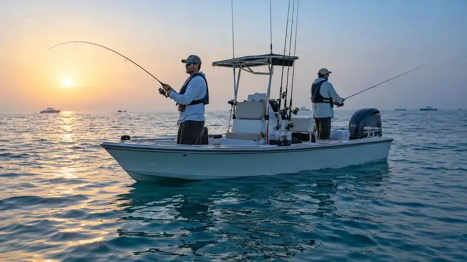
Illustrative image, not an observation of a particular location or sea state.
Three different measurements
Wave height is the vertical difference between trough and crest. Wave period is the time between successive crests passing a point. Propagation speed describes movement of the wave pattern, not the current pulling your fishing line. Metres and seconds do not report boat drift. Significant wave height is a statistical description of a sea state, rather than a maximum height for every wave you may encounter.
Short-period waves can feel busy
Closely spaced crests can produce repeated impacts, depending on boat speed and heading. Longer-period swell can appear smoother in one area yet carry energy into a shallow or exposed shore, increasing breaking or run-up. Longer period does not always mean safer conditions, and a low height does not guarantee a steady boat. Hull design, load, depth and wave direction all matter.
Read direction against the route
A provider may describe the direction waves come from; check its definition instead of interpreting an arrow by appearance. Head seas, beam seas and following seas can produce different responses. A heading change may change the ride, but choosing speed and course is a skipper decision, not an automatic recommendation from this guide. Height alone cannot predict vessel roll, pitch or passenger comfort.
A comparison, not a departure limit
Two forecasts might both show 0.6 m, with periods of 3 seconds and 8 seconds. They describe different spacing in time. The second may include swell arriving from farther away. Do not choose a trip from that comparison alone: consider wind, depth, exposure, harbour exit, the official marine forecast and skipper judgement. These numbers illustrate how to read a forecast; they are not operating limits for a vessel.
What a useful display should show
Show height in metres, period in seconds, direction and its convention, issue time and forecast point. Separate wind waves and swell where the source supplies them. Treat missing values as unavailable. A boat-comfort label should remain an estimate requiring vessel and route information, not a measured prediction of motion or seasickness. Check the return conditions even when the fishing period looks calm.